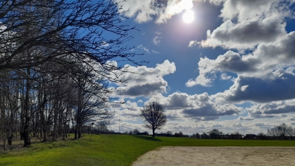
When will this dank and benign weather end?
Date published: 12 February 2025

Here's Jon Baylis's latest in-depth weather forecast
High pressure to our east has been stubborn and with its positioning, has fed in biting but not significantly cold, easterly and north-easterly winds.
Not only has this brought extensive cloud, and hill-fog, but also bouts of mizzle and on the very highest routes, some wet-snow.
All-in-all it’s been a miserable week or so.
So when will all this doom and gloom end?
That's a good question for Oldham weather expert Jon Baylis.
Over the next couple of days we should start to see more in the way of drier weather compared to seeing drizzle, but he is still expecting a lot of cloud.
With the wind changing direction to a southeasterly introducing slightly drier air, there’s a good chance that the cloud will thin and break in places, so some bright spells will sneak through.
This means overnight where we do have some clear spells, especially in the west, there’s likely to be some frost.
Daytime temperatures are going to remain chilly but should start to pick up next week.
When Jon says should, this is down to what happens with the weather pattern next week.
Different computer models were suggesting different outcomes.
For example, high pressure that’s been blocking to our east and northeast over the past week stays firm, meaning we stay in a similar pattern, whereas in other scenarios the high is shunted away to the east and the Atlantic weather systems start to make their way onto our shores once again.
In this case we will be switching the wind to a more southwesterly direction and hence increasing the temperature close to double-figures.
With the Atlantic back in the game we could well see some spells of wind and rain.
So, uncertainty next week but for now, slow changes.
Here's Jon's latest in-depth forecast:
Today (Thursday): After a cloudy start Jon is hopeful, especially the further west you are, that some sunny spells will break through.
Dry but a cold wind, still from the east.
Patchy frost where clear skies appear overnight.
Max 5°C Min -1°C.
Friday: Wind swinging a little southeasterly but still cold and brisk. Cloudy with some breaks but dry. We’ve not seen much rainfall this month despite the lack of sunshine. Max 5°C Min 1°C
Weekend: Little change.
Saturday: It’s likely to be a little cloudier with bright spells limited.
The cloud could be thick enough at times in the east to produce some drizzle once again.
Feeling cold.
Max 4°C Min 1°C.
Sunday: Very similar conditions expected.
Max 5°C Min 1°C.
Outlook: Uncertain. Slightly more favourable now that it will slowly turn milder with the cold staying away in eastern Europe and no big freeze expected.
There’s a good chance that we will see temperatures back into double-digits.
Follow @ChadWeather on X and Bluesky for the latest forecasts and warnings.
Do you have a story for us? Want to tell us about something going on in and around Oldham? Let us know by emailing news@oldham-chronicle.co.uk , calling our Oldham-based newsroom on 0161 633 2121 , tweeting us @oldhamchronicle or messaging us through our Facebook page. All contact will be treated in confidence.
Most Viewed News Stories
- 1Family pay tribute to 'true gentleman' who was murdered following reported fight close to Elk Mill...
- 2Murder charge secured following incident near Elk Mill roundabout earlier this week
- 3Police investigate 'shocking' stabbing incident at Oldham retail park
- 4Oldham Temple spreads joy at Holi Festival with rainbow of colours.
- 5Oldham's 'deafening silence' since voting to leave Places for Everyone scheme


