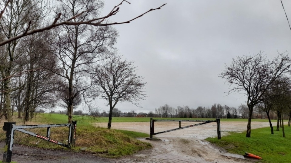
Storm Éowyn packs a punch and signifies the start of an unsettled spell
Date published: 22 January 2025

Here's Jon Baylis's latest in-depth weather forecast
Since the deluge of New Year’s Eve/New Year’s Day and the fifth of the month, rainfall amounts over the past couple of weeks have been suppressed, but it’s not been exclusively dry and bright.
Oldham weather expert Jon Baylis has seen many days cloudy, dull, foggy and damp with extensive drizzle and patchy rain.
The weather hasn’t been that mobile over the past 10 days due to high pressure being close by, bringing benign conditions.
With a more active Jet Stream on the way, we are set to see unsettled weather return from today (Thursday) onwards and as some might say, ‘we are back to the norm’.
Here's Jon's latest in-depth forecast:
Today (Thursday): Thursday will start bright and cold but cloud will soon thicken from the west and rain is expected from mid-morning and this will last into the afternoon, probably towards the evening in a few places.
After a relatively calm start, it will be a windy afternoon with 40mph gusts, but remember this is not Storm Éowyn, as that will be coming on Friday.
Max 7°C Min 3°C.
Friday: Most of the recent named-storms that we have had, have seen the strongest winds occur during nighttime, when most people are at home.
This storm will bring the strongest winds during the daytime, which means disruption will be high across parts of the UK.
Yes, we will mostly miss the worst of the winds but I’m still expecting gusts, widely, of 45-65mph and on coasts and hills in excess of 75 mph, locally higher.
Currently parts of the region are split into two warning areas.
An amber warning and a yellow warning.
Jon would certainly stay at home if he was in the amber warning area.
With it expected to be a wild day, if you can stay at home and don’t need to travel, then do so.
Parts of the UK most at risk are Northern Ireland, Southern Scotland and parts of North Wales, Northern England and the far North West of England.
These areas could see gusts in excess of 80-90 mph.
There will be people that need to travel or just ignore these warnings and unfortunately it would not surprise Jon to see some fatalities.
The conditions are going to be so bad.
At the time of writing there has not been a red warning issued by the Met Office, but it would not surprise Jon if they do issue one.
Take this storm seriously.
It will be one of the strongest for many years for some areas, whereas other areas, nothing more than a typical winter storm.
This storm has been formed by the recent cold plunge in America, where cold air has met tropical air.
The temperature gradient has kick-started the Jet Stream, which then picks up an area of low pressure out in the Atlantic and because it’s very active, top speeds of 250-265mph, the area of low pressure deepens rapidly, hence this powerful storm (winds of 120-140mph out to sea).
Aside from the wind, the weather won’t actually be too bad.
Early rain clears to sunny spells and the odd shower. Winds drop off significantly into the night allowing a frost to form.
Max 8°C Min 1°C.
Weekend: Saturday’s best.
Saturday: We have a bit of a respite with a ridge of high pressure, albeit brief on Saturday.
This means it will start chilly with a frost in places, but then we should have a day of sunny spells and dry conditions and it will be much calmer with lighter winds compared to Friday.
Cloud increasing later into the evening.
Max 6°C Min 1°C
Sunday: Hopefully a dry start and we might squeeze out most of the morning dry but cloud will thicken from the west again, as another area of low pressure arrives.
Rain is expected into the afternoon and evening and winds will increase again, nothing like Friday, but 40mph gusts are still possible.
Feeling cold, especially with the wind but turning slightly milder overnight.
Max 7°C Min 5°C.
Outlook: Remaining unsettled with spells of cloud, wind and rain.
Temperatures around average so feeling particularly chilly when windy and some cool nights, but not many frosts are expected due to the cloud cover and breeze.
Any good news Jon hears you say?
Hopefully by next weekend there are signs that the weather may settle down again, so fingers crossed!
No sign of anything significantly cold or snowy.
Follow @ChadWeather on X and Bluesky for the latest forecasts and warnings.
Do you have a story for us? Want to tell us about something going on in and around Oldham? Let us know by emailing news@oldham-chronicle.co.uk , calling our Oldham-based newsroom on 0161 633 2121 , tweeting us @oldhamchronicle or messaging us through our Facebook page. All contact will be treated in confidence.
Most Viewed News Stories
- 1Murder arrest follows death of man in Oldham in 2023
- 2Road closures set to lead to economic pain for local Uppermill businesses
- 3Awards bonanza for popular Oldham pub
- 4Police seek public's help following bike theft
- 5Chadderton youngster Fahad turns his life around following MS distress and ignorance


